REVIEW · HAKONE
Hike Hakone Hachiri Japan Heritage Area
Book on GetYourGuide →Operated by Hike Hakone Hachiri 合同会社 · Bookable on GetYourGuide
Old Tokaido paths still feel like a secret. This Hakone-Hachiri hike follows an eight-mile stretch of the old foot highway linking Tokyo with Kyoto and Osaka, mixing stone paths, cedar shade, and real checkpoint history. I like how forest walking pairs with checkpoint stories, and I really appreciate the pacing that keeps the day enjoyable. The main catch is stamina: you’ll cover about eight miles with some uphill effort, and it’s not a match if you have mobility impairments.
What makes it stand out is the guide. Tony leads in English and also speaks Japanese, so explanations land clearly, not in fragments. In practice, you get a weather-smart plan and hands-on help, including support for getting back to Tokyo later. You’ll start at Hakone-Yumoto Station, hike through Hakone and Lake Ashi, then finish at Mishima Station for an easy handoff to the shinkansen ride home.
In This Review
- Key Highlights You’ll Feel Right Away
- Why This Old Tokaido Route Feels Different
- Morning Setup: Getting to Hakone-Yumoto Smoothly
- Tea Stop at Amazake Chaya: A Real Taste of the Road
- Stone-Paved Tokaido, Cedar Avenue, and Hakone Checkpoint
- Lunch by Lake Ashi and the Yamanaka Castle Ruins Walk
- Endgame in Mishima: Genbe River World Heritage Water Area
- Price and Logistics: Is $451 Worth It?
- What to Pack and How to Pace the Day
- Who Should Book This Hike (and Who Should Skip It)
- Should You Book This Hakone Hachiri Hike?
- FAQ
- How long is the hike?
- Where does the tour start and end?
- How much walking is included?
- What language is the guide?
- What’s included in the price?
- What isn’t included?
- What should I bring?
- Is it suitable for people with mobility impairments?
Key Highlights You’ll Feel Right Away
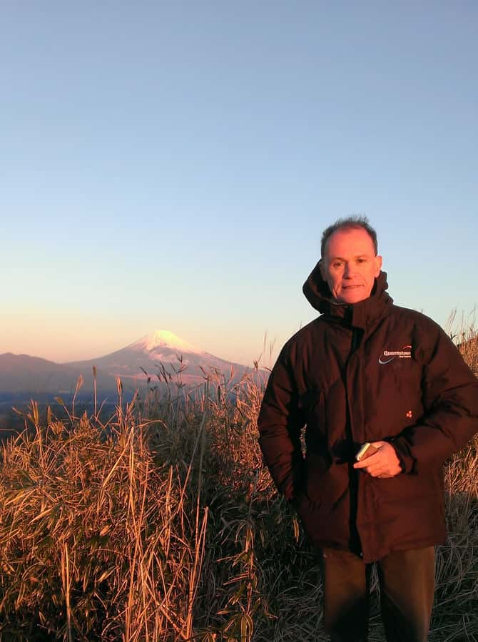
- A private, English-speaking guide (Tony) who coordinates your day and helps you stay on track
- Old Tokaido on foot for about eight miles, not a quick photo stop
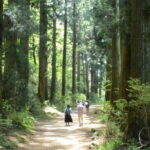
- Cedar Avenue under tall 400-year-old trees, shaded and scenic for much of the walk
- Hakone Checkpoint area plus a guided feel for how the road worked in feudal times
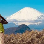
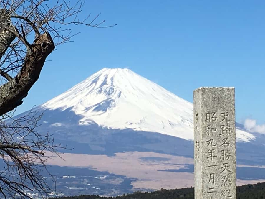
- Mount Fuji photo timing when weather allows, without turning the day into a guessing game
- Genbe River Water Area in Mishima, a World Heritage walking stretch that changes the pace at the end
Why This Old Tokaido Route Feels Different
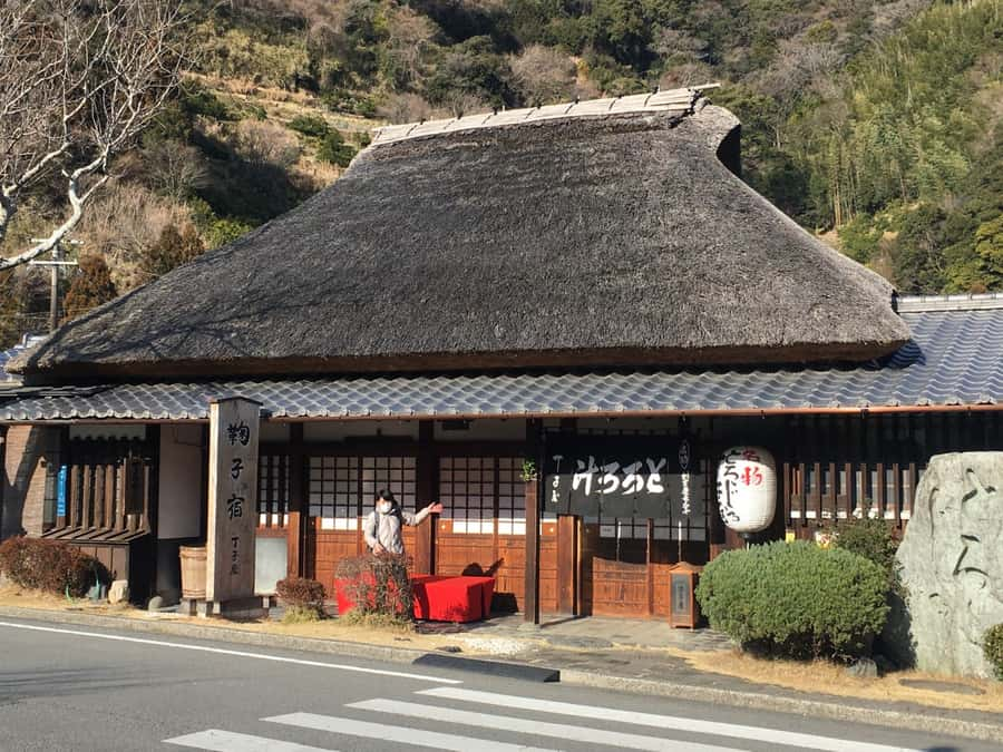
This is one of those Japan days where you stop thinking in attractions and start thinking in routes. The Old Tokaido was the spine of travel long before trains, and today you’re walking parts of the same idea: movement through forest, checkpoints, and towns built around travelers.
I like that this hike focuses on the connective tissue—roads, tea stops, and small landmarks—rather than stacking too many big-ticket sites. You’ll spend real time on the stone-paved Tokaido through the woods, then shift to open-air moments near Lake Ashi. That rhythm helps you understand why people traveled this way, not just where the famous views are.
The day also has a practical balance: you get breaks (amazake, lunch), but you’re not cushioned into a slow stroll. Expect a “walk and learn” style outing that rewards attention—names of places, why cedars mattered, and what checkpoints were for.
Morning Setup: Getting to Hakone-Yumoto Smoothly
The plan starts with your own train arrangement, then a guide meeting at Hakone-Yumoto. You’re aiming to catch Tokaido Shinkansen Kodama #707 out of Tokyo at 07:57, then get off at Odawara around 08:30. After that, you take a local train to Hakone-Yumoto Station, where Tony meets you.
This matters because it keeps the hike from feeling like a chaotic scramble. You’re not just “in the area”—you’re already in the right corridor of Hakone. From Hakone-Yumoto, the day begins with a short taxi-style hop up to near Amazake Chaya teahouse, which saves your legs for the actual walking.
Timing also helps. You’re set up to start hiking earlier in the morning, when the forest air feels best and the day is less crowded around major spots. If you’re the kind of traveler who hates waiting around transit hubs, this is a good pattern.
Tea Stop at Amazake Chaya: A Real Taste of the Road
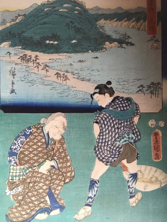
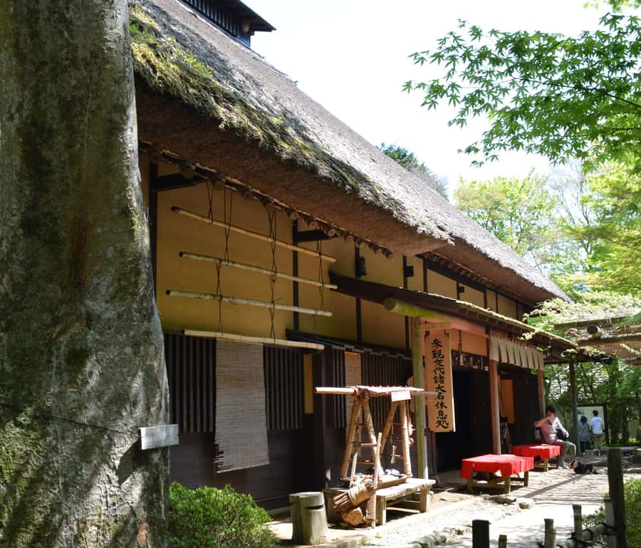
Before the hiking gets serious, you’ll pause near Amazake Chaya teahouse—one of the few remaining teahouses that once lined hundreds along the Old Tokaido. Tony starts with some heart-warming amazake, a non-alcoholic sweet rice drink, which is a clever way to get you fueled without turning the morning into a heavy meal.
This is where the day clicks into story mode. You’re not just drinking something warm; you’re stepping into the traveler routine. Tea houses like this existed because people needed a reliable checkpoint for rest, warmth, and social contact.
I also appreciate that Tony doesn’t treat this as a tourist photo cue. He translates and explains what’s happening around you, including context that makes the old road feel human rather than historical. In past days on this route, the tea house owner and the conversation have been a memorable highlight, helped along by Tony’s Japanese skills.
Stone-Paved Tokaido, Cedar Avenue, and Hakone Checkpoint
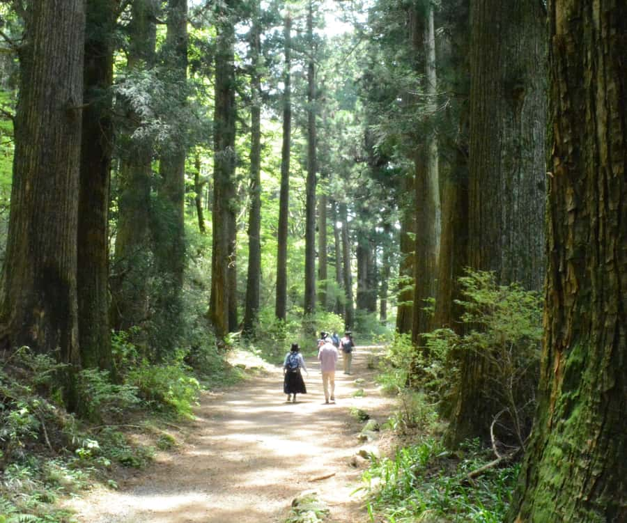
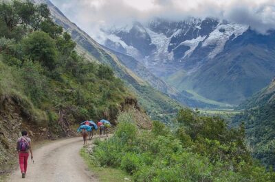
After amazake, the route follows the Old Tokaido on foot, starting along stone-paved sections through the forest and descending toward Lake Ashi at Moto-Hakone. This part is where you feel the shape of the day—cool shade under trees, then a gradual reveal toward water.
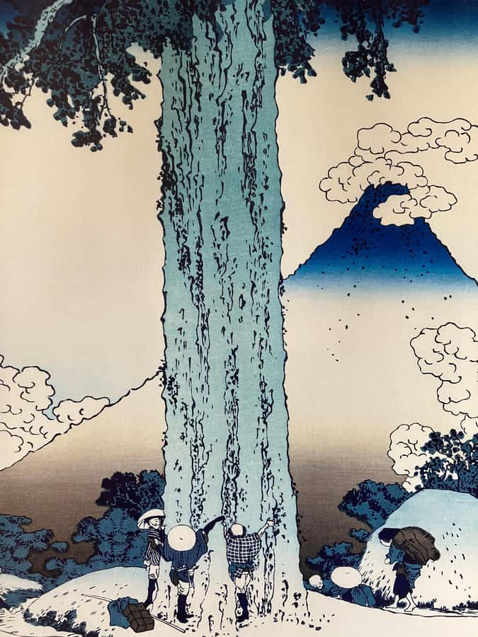
Next comes one of the standout stretches: the mile-long Cedar Avenue, lined on both sides with towering cedar trees said to be around 400 years old. Even if you’ve seen big trees before, this one feels special because it’s a corridor. You’re moving inside it, not simply viewing it from a platform.
Then you reach Hakone Checkpoint. This is a key stop if you want to understand the road’s function in feudal times—how movement was controlled, where travelers paused, and why certain areas mattered. It’s the difference between walking scenery and walking infrastructure.
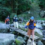
Practical note: this corridor can still feel humid, even in comfortable temperatures. A hat and a light jacket help, and sports shoes are non-negotiable if the path gets slick.
Lunch by Lake Ashi and the Yamanaka Castle Ruins Walk
You’ll take a break for lunch by the lake. This is timed well because it comes after you’ve already walked a chunk of the route, so you actually feel ready to eat rather than snacking out of boredom. Lake Ashi gives the day a change of mood—more open air, different light, and a chance to reset your pace.
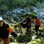
After lunch, you rejoin Old Tokaido for a largely forested hike toward Yamanaka Castle Ruins. The walk is described as part of the Old Tokaido follow-up segment, and it’s one of the reasons this tour isn’t a lazy stroll. You’ll want to pace yourself because you’re adding roughly another two hours of walking here.
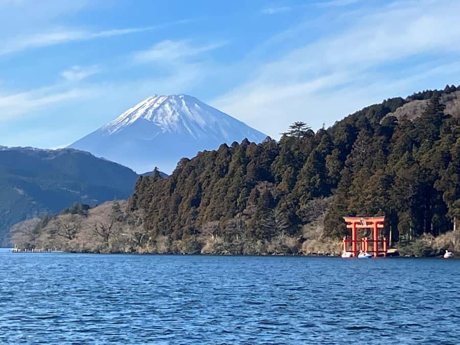
If the weather plays along, you’ll also have a Mount Fuji photo opportunity. The important part is the wording: it’s weather dependent. That’s good planning, not an empty promise. You won’t spend the whole day chasing a view that might not show up.
One more thing I value: Tony can adjust the route based on your schedule and the conditions. That flexibility is useful because rain can roll in fast in mountainous areas, and you want your day to stay enjoyable rather than stressful.
Endgame in Mishima: Genbe River World Heritage Water Area

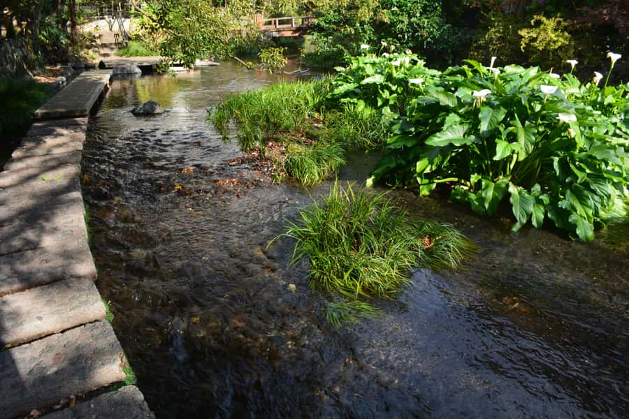
Once the Hakone hiking finishes, you head by bus/coach to Mishima. The final walking stretch is along the Genbe River World Heritage Water Area, then you end at Mishima Station.
This ending is smart for two reasons. First, the day stops feeling like a continuous uphill grind. Second, the Genbe River water area gives you a different kind of cultural value—more about how water shapes life, not just where famous viewpoints are.
From Mishima, the plan is to catch Tokaido Shinkansen Kodama #734 toward Tokyo. Your target departure is 17:24, with arrival around 18:18. You’re not stuck waiting around for hours at the station either, which helps keep the day from dragging.
If you like closing the loop by getting back on the rails before darkness or fatigue sets in, this finish time window works well.
Price and Logistics: Is $451 Worth It?
The price is $451 per group up to 6, for a private experience. That’s the big value lever: you’re not paying a per-person hike rate; you’re sharing Tony’s guided time and planning across your group.
What’s included is also straightforward. You get the guide fee, guide’s expenses, and guide gratuity. What’s not included is what usually adds noise to a hike day: transport, entry fees, refreshments, lunch, and souvenirs. In other words, you’re paying for the route leadership and local knowledge, while you handle the add-ons directly.
In a practical sense, the reason this can be worth it is simple: getting this kind of day right takes more than a map app. Tony coordinates train timing, meets you at the station, helps with getting to the right starting area, and supports your return logistics at Mishima. On top of that, he can help with weather awareness and make the day fit your pace, not just a rigid script.
The main “logistics consideration” is that you do arrange some transit yourself—specifically the shinkansen segments—and the hike still totals about eight miles. If you’re traveling solo and expecting a very easy, low-effort walking plan, the structure may feel like a lot.
But if you’re a small group who wants a guided understanding of the Old Tokaido corridor, and you’re okay with active walking, this private pricing becomes a lot more reasonable.
What to Pack and How to Pace the Day
You’ll want to show up ready to walk. Bring a hat, a jacket, and sports shoes. That’s not just “suggested”—it matches the reality of forest shade, possible mist, and uneven old-road surfaces.
Pacing matters here because the day includes multiple walking segments: an initial hike through the forest to Lake Ashi, then another forest-heavy portion toward Yamanaka Castle Ruins. The eight-mile total is a useful planning number, but the uneven effort is what can surprise people.
My advice: treat this like a workout with breaks, not a sightseeing stroll. You’ll enjoy it more if you start with steady steps and save your speed for short photo moments like the cedar corridor and any Fuji-view gaps.
Also, ask Tony about the day’s weather before you commit to any photo priorities. The route can be planned with conditions in mind, and that saves energy and mood.
Who Should Book This Hike (and Who Should Skip It)
This experience is a great match if you want a guided walk on a famous historic route without the typical “stand and look” style tour. It’s especially good for people who care about how roads worked—tea houses for travelers, checkpoint logic, and why certain areas were built for passing traffic.
It’s also a smart choice if you’re traveling with others and want a private group dynamic. You get flexibility and attention that you don’t get on big group bus tours.
The clear skip list is mobility limitations. The tour is specifically noted as not suitable for people with mobility impairments. If that’s your situation, it’s better to choose an easier route with accessible surfaces.
And if you’re hoping for an ultra-light walking day, this one might feel like work. It’s manageable with the right shoes and pacing, but it’s not designed to be easy.
Should You Book This Hakone Hachiri Hike?
Book it if you want a full, story-driven walk along the Old Tokaido corridor—cedars, checkpoint context, Lake Ashi breaks, and an ending in Mishima that feels like a thoughtful change of pace. The private nature and the guide’s bilingual ability help the day click into place.
Skip it if you’re chasing a mostly flat stroll, need full accessibility support, or don’t want to handle parts of train travel on your own. For the right group, though, this is exactly the kind of Japan day that makes you feel like you traveled through the country’s past, not just around it.
FAQ
How long is the hike?
The total duration is 8 hours.
Where does the tour start and end?
It starts at Hakone-Yumoto Station and finishes at Mishima Station.
How much walking is included?
The hike includes about 8 miles of walking total.
What language is the guide?
The live tour guide speaks English.
What’s included in the price?
Included: guide fee, guide expenses, and guide gratuity.
What isn’t included?
Not included: transport, entry fees, refreshments, lunch, and souvenirs.
What should I bring?
Bring a hat, a jacket, and sports shoes.
Is it suitable for people with mobility impairments?
No. It is not suitable for people with mobility impairments.