REVIEW · PRAIA
Hiking: Monte Tchota Natural Park – Pico D’Antónia (1394m) – Longueira
Book on Viator →Operated by Bu Country Tours · Bookable on Viator
Santiago Island’s highest peak is a real treat. This guided hike takes you through Monte Tchota Natural Park and up to Pico d’Antónia (1,394 m), with a picnic lunch on top and views when the weather cooperates. It’s the kind of day that mixes a workout, real Cape Verde scenery, and time to slow down and look.
What I like most is the blend of nature and people. You’re not just walking past rocks—you’ll learn about endemic plants and birds, and then you’ll drop into the Longueira mountain area to see homes carved into the hills and talk with a local family about day-to-day life.
The main thing to consider: it’s a difficult hike with steep, rocky sections on a narrow path, plus significant downhill. You’ll want strong fitness, proper shoes, and you should be ready for at least some Level 1 climbing.
In This Review
- Key Things to Know Before You Go
- Why Monte Tchota to Pico d’Antónia Feels Like Two Trips in One
- Morning Setup from Praia: A Day that Starts at 8:30
- Inside Monte Tchota Natural Park: Plants, Birds, and Seasonal Farming
- Pico d’Antónia at 1,394 m: Picnic Views and Fogo Island If You’re Lucky
- The Descent Is Steeper Than You Think: Elevation Loss, Rocks, and Foot Care
- Longueira Mountain Homes: Culture You Can Ask About (Not Just Photograph)
- Guides, Safety, and the Pace that Makes a Hard Hike Enjoyable
- Price and Value: Is $98.72 a Fair Deal for This Level of Effort?
- What to Pack and How to Hike Smarter on Narrow, Rocky Trails
- Who Should Book This Hike (and Who Might Think Twice)
- Should You Book Monte Tchota and Pico d’Antónia?
- FAQ
- What time does the Monte Tchota hike start from Praia?
- How long is the hike?
- Is the route a round-trip or one way?
- How hard is the hiking route?
- Is there a guide, and do I get pickup and drop-off?
- What will I see at the top of Pico d’Antónia?
- What should I bring for the hike?
- What happens if the weather is bad?
Key Things to Know Before You Go
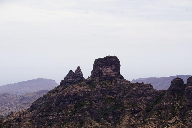
- Monte Tchota to Pico d’Antónia is a real elevation hit: you gain about 660 m and lose around 1,280 m.
- One-way hiking on tilty, narrow trails means careful footing and a slower pace in steep spots.
- Picnic lunch at the top is part of the day’s rhythm, not an afterthought.
- You’ll connect with Longueira mountain life by visiting houses carved into the rock and chatting with a family.
- Good weather matters: the experience is planned around safe, view-worthy hiking conditions.
- Small group size (max 8) keeps things friendly and makes it easier for the guide to manage pace.
Why Monte Tchota to Pico d’Antónia Feels Like Two Trips in One
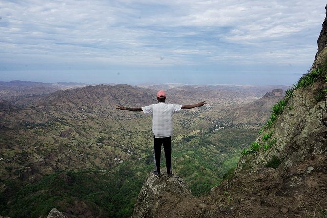
This hike earns its reputation because it doesn’t sit in one mode. First you’re in a natural park setting where the guide points out endemic plants and birds—small details that make the hike feel more like learning than just climbing. Then you shift into agriculture country, where you walk through fields and seasonal crops, and you end the day with a human connection in the Longueira mountains.
The payoff is also practical. At 1,394 meters you’re high enough to get big-sky views, and if weather is clear you may even spot Fogo Island on the horizon. But even without a perfect view, the top-of-the-mountain picnic gives you that “we made it” moment you remember later.
One more reason I like it: the structure is built around time-on-feet, not time-waiting. The day is roughly 6 hours total, but the meaningful parts are distributed: travel in the morning, hiking for about 4–5 hours, and then the cultural visit and descent.
You can also read our reviews of more hiking tours in Praia
Morning Setup from Praia: A Day that Starts at 8:30
Pickup happens in Praia in the morning, with the start time at 8:30 am. The transfer itself is short, so you’re not burning the day stuck in a vehicle. You’ll also get a straightforward experience format with admission ticket included (it’s listed as free) and a mobile ticket.
This matters because hiking days on islands can go sideways if logistics are chaotic. Here, the pacing feels designed for hikers: get you out, get you moving, and bring you back to Praia after the descent and the Longueira visit. Drop-off back at your hotel is about 40 minutes, which gives you a clean end point to plan the rest of your day.
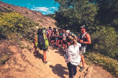
Group size is capped at 8 travelers, and that small number changes the vibe. You’re more likely to get personal help when the trail narrows, and your guide can slow down for questions—like asking why certain plants grow where they do, or how the local farming cycle shapes what you see along the way.
Inside Monte Tchota Natural Park: Plants, Birds, and Seasonal Farming
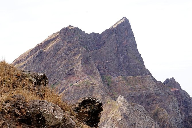
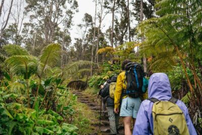
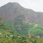
Monte Tchota Natural Park is where the hike starts to feel like more than a track on a map. You’ll begin on unspoiled paths and get a guide-led walk through the park, with time to look at endemic plants and birds. The details are the point. When you know what you’re looking for, even a short pause becomes interesting instead of wasted time.
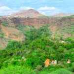
As you climb and then later move through agricultural areas, you’ll see what the region is growing depending on the season. You might find corn, mango, coffee, or tomatoes along the fields. That seasonal variety is a big deal in Cape Verde hiking—this isn’t one static landscape. It changes with the calendar, so your experience can feel different from someone else’s photo-heavy memory.
There’s also a practical rhythm shift. Higher up, you’re paying attention to footing and air. Lower down, you’re paying attention to the patterns of farms and homes. That blend keeps the hike from feeling one-note, even though the total walking distance is about 9 km.
Pico d’Antónia at 1,394 m: Picnic Views and Fogo Island If You’re Lucky
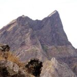
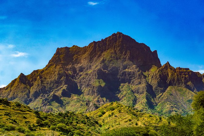
Reaching Pico d’Antónia is the summit mission: the walking distance to the hiking point is about 4.2 km up, with a maximum elevation around 1,400 m. The hike is challenging, but the timing and the destination make it feel earned rather than random.
Once you’re at the top, you get a tasty picnic lunch. This is one of the highlights I’d treat as non-negotiable. Food at altitude makes you slow down at the right moment—when your brain can finally process the effort. It’s also where you look up at the sky and out at the horizon without rushing.
Weather permitting, you might spot nearby Fogo Island with its volcano lost on the horizon. Don’t count on it like a guarantee—visibility is weather-dependent—but if it’s clear, that distant volcanic shape is the kind of visual that turns a difficult hike into a lasting memory.
One small tip: bring the energy to stay present at the picnic. People often arrive at the top thinking about the descent, then forget to enjoy the view. When you’re fed and rested, the next phase will feel less punishing.
The Descent Is Steeper Than You Think: Elevation Loss, Rocks, and Foot Care
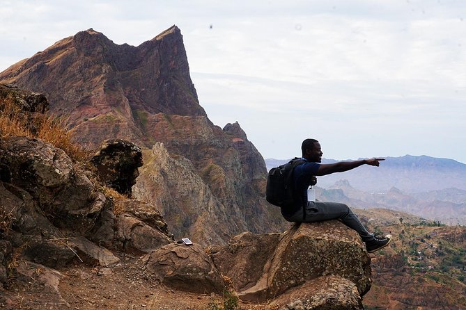
Here’s the part that deserves respect: the trail isn’t just a climb. You also face a steep descent with an elevation loss of about 1,280 m. Even if your legs are strong on the way up, the downhill can feel like a different workout—short steps, controlled pace, and steady balance.
The route is described as one way with tilty, narrow path quality, and there are trails where you’ll need some Level 1 climbing. Translation: you’ll likely use hands sometimes for stability, and you shouldn’t plan this as a stroll.
This is also where a guide earns their pay. On my kind of hike, the best guides manage pace so everyone stays safe. In this experience, the guiding team helps keep a steady rhythm and looks out for footing in the rougher sections. The guide’s role isn’t only about route-finding—it’s about keeping you from rushing.
If you use hiking sticks, you’ll feel the benefit most on descent. They don’t make the trail easy, but they help you stay balanced when the path funnels into rock.
Longueira Mountain Homes: Culture You Can Ask About (Not Just Photograph)
After the steep sections, the hike shifts from “look at the view” to “look at how people live.” You’ll walk among local houses carved into the Longueira mountains and then visit a local family to learn about daily life and regional culture.
This part is valuable because it adds context to what you’ve already been seeing: farms, crops, and the geography that shapes housing choices. When homes are carved into the mountain, it’s not just an interesting building detail. It’s a way of living that responds to terrain and access.
I also like how this segment feels conversation-based. You can ask questions and get answers from the people who understand the place firsthand. You’re not stuck with a lecture—you’re guided through a real living environment.
If you prefer experiences where you can connect quickly and speak naturally, this stop is for you. If you’re the type who hates face-to-face interaction, you may find it a bit intense—but you’re still in a structured group setting, and the guide can help manage the flow.
Guides, Safety, and the Pace that Makes a Hard Hike Enjoyable
The difference between a good hike and a great one often comes down to two people: the guide and the driver. In this case, the guide Cátia and the driver Nilton are part of the reason the experience lands so well for safety and comfort. The guiding style is geared toward steady progress rather than sprinting to the summit. That matters when the trail narrows and the descent asks for careful steps.
Cátia is noted for being passionate and answering questions, plus offering practical recommendations. That combination makes the walk feel friendly, not like you’re just following instructions. Nilton’s involvement also helps keep the day smooth from pickup onward, so you’re not dealing with confusion when it’s time to start or when you’re tired and ready to head back.
If you enjoy learning while moving—about plants, birds, farming, and local life—this tour setup supports that. If you just want a cardio workout, you’ll still get one, but you may end up stopping more often to look and ask.
Price and Value: Is $98.72 a Fair Deal for This Level of Effort?
At $98.72 per person, this hike isn’t “cheap,” but it’s also not overpriced for what you get. You’re paying for several things bundled into one day:
- A guided hike through Monte Tchota Natural Park to the island’s highest point
- A picnic lunch at the top
- Pickup and drop-off in Praia
- A small group size (max 8)
- A cultural visit in Longueira with a local family
Many hikes charge for the guide, then leave you to handle everything else. Here, the day is assembled as a complete experience: transport, guiding, and the key moments. Also, admission tickets are listed as free, which is another reason the price feels more contained.
You might also notice it gets booked ahead—on average about 27 days in advance. That’s a sign people plan this into their Santiago itinerary rather than grabbing it last minute.
And the track record is strong, with a 4.9 rating and 100% recommended based on available feedback. You can’t treat ratings as a substitute for your own judgment, but in this case, they match the kind of experience that’s hard to fake: safety on a narrow, steep trail plus meaningful stops with local context.
What to Pack and How to Hike Smarter on Narrow, Rocky Trails
If you do one thing to make this day better, do it with your footwear. Hiking shoes are recommended, and you’ll want hiking pants especially from August to October. The tour also strongly recommends walking sticks, and I agree—on narrow and tilty sections, sticks can turn a stressful stumble into a controlled step.
Bring:
- Hiking shoes
- Hiking pants (especially in Aug–Oct)
- Walking sticks (highly recommended)
- A hat
- Sunscreen
- Water
Also plan for a weather swing. Even though it’s in the sun much of the time, higher altitude and windy ridgelines can feel colder than you expect. Dress in layers you can adjust, and keep an eye on the sky when you’re high up.
Pace tip: on steep rocky sections, your goal isn’t speed. It’s rhythm. Take shorter steps, trust the guide’s timing, and don’t be shy about asking for a slower pace if your footing feels shaky.
Who Should Book This Hike (and Who Might Think Twice)
You’ll likely enjoy this if you:
- Have strong physical fitness
- Like hikes that include sightseeing and local conversation
- Are comfortable on uneven terrain and narrow paths
- Want a guided day that balances effort with breaks and a summit picnic
This one may not fit if you:
- Get nervous on narrow trails or steep rocky descents
- Don’t have a good base for hiking (the route is rated difficult)
- Have health issues that make elevation or effort a concern (the tour notes suitability for those without health problems)
Age is over 16 years old, so it’s aimed at older teens and adults.
If you’re the type who loves Cape Verde beyond beaches—endemic plants, birds, seasonal crops, and mountain homes carved into rock—this experience gives you that fuller picture in a single day.
Should You Book Monte Tchota and Pico d’Antónia?
I think you should book it if you’re ready for a real climb and you want more than a viewpoint photo. The summit picnic, the guided focus on endemic plants and birds, and the Longueira family visit create a day with multiple payoffs, not just one.
I’d pause and reconsider if you’re unsure about your hiking footing. The trail is narrow and tilty, with steep descent and some Level 1 climbing. If that sounds like stress instead of challenge, pick a gentler route.
But if you’re looking for a Cape Verde hiking day that feels authentic—nature plus local life in the same loop—this one is a strong choice, especially with a small group, a guide like Cátia, and smooth local support from Nilton.
FAQ
What time does the Monte Tchota hike start from Praia?
The start time is 8:30 am, with pickup at your hotel in Praia.
How long is the hike?
The total tour duration is about 6 hours. The walking time is roughly 4–5 hours.
Is the route a round-trip or one way?
The trail type is one way.
How hard is the hiking route?
It’s listed as difficult, with a walking distance of about 9 km, elevation gain around 660 m, and elevation loss around 1,280 m. The path quality is described as tilty and narrow, and there are sections where Level 1 climbing may be necessary.
Is there a guide, and do I get pickup and drop-off?
Yes. You travel with an experienced local guide. Pickup at your hotel in Praia is included, and you’ll be dropped back at the end of the tour.
What will I see at the top of Pico d’Antónia?
You’ll have a picnic lunch on top, and you’ll enjoy panoramic views if weather allows. You might also see Fogo Island on the horizon when conditions are good.
What should I bring for the hike?
Bring hiking shoes, a hat, sunscreen, and water. Hiking pants are highly recommended from August to October, and walking sticks are also highly recommended.
What happens if the weather is bad?
The experience requires good weather. If it’s canceled due to poor weather, you’ll be offered a different date or a full refund.