REVIEW · TENERIFE
Hike above Masca through relict woods. SMALL GROUPS.
Book on GetYourGuide →Operated by Trektenerife · Bookable on GetYourGuide
Masca feels close and wild when you hike above it. I love the ancient laurel forest walk and the sense of breathing room from a small group. The trade-off: parts of the route can involve hand-assisted scrambling on descents, so it is not a fit if you have vertigo or a strong fear of heights.
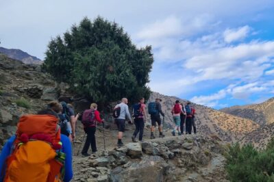
This trek runs about 6 hours and mixes volcanic viewpoints with a slow, shaded forest change of pace. You’ll cover roughly 7 to 7.5 km with about 300 m of elevation gain, and you’ll keep to fewer-used paths that help you dodge the worst of the Masca traffic-and-crowd circus.
In This Review
- Key points I’d plan around
- Where the Teno Mountains hike beats the usual Masca plan
- The first leg: pine forest, Teide in view, and hitting 1300 meters
- Main route viewpoints: slope walking, scenic pauses, and historical spots
- The Masca angle that’s hard to get from town
- Risco Verde and the quieter secret-trail section
- Finishing in the relict laurel forest: the cool, rare change of scenery
- Eugenio and the guide-led difference in a small group
- How hard is it really? Fitness, vertigo risk, and shoe choice
- Price and value: what $80 buys you (and what it doesn’t)
- Pickup and drop-offs across Tenerife: plan your day around the route
- Weather changes: how fog and clouds can change your hike
- Should you book this Masca hike above the Teno Mountains?
- FAQ
- FAQ
- How long is the hike above Masca through the relict laurel forest?
- How far do you hike and how much elevation gain is there?
- What group size should I expect?
- What languages are available for the guide?
- Is the tour hard, and is it safe for people with vertigo?
- What is included in the price?
- Are meals and drinks included?
- Where do you get dropped off after the hike?
Key points I’d plan around
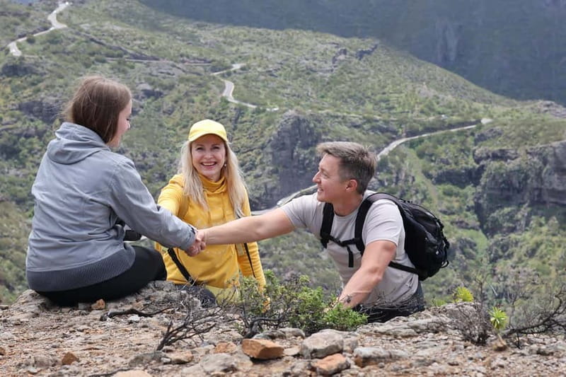
- Small group limit (max 6) keeps the pace comfortable and the guide responsive.
- Ancient laurel forest is the highlight for anyone who likes rare ecosystems and shade.
- Multiple viewpoints connect volcano views, the ocean, and the dramatic Masca Gorge.
- Secret trail section gives you a quieter angle on the Teno Mountains.
- Main lookout for 360° panorama with minimal exposure, so it feels safer than steep drop-offs.
- Pine forest start with Teide and eruption-history views helps you orient fast.
Where the Teno Mountains hike beats the usual Masca plan
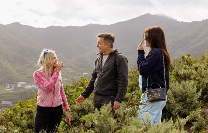
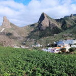
Masca is famous for a reason, but most people see it from a busier angle. This hike flips the view: instead of fighting traffic and trying to squeeze in time at the village, you climb to look down on the gorge and that famous road threading the mountains.
What I like most is how the tour makes the terrain do the talking. One minute you’re catching volcanic hints like Teide in the distance and the story of the last eruption in 1909. The next minute you’re up high enough to notice microclimates at work, then you finish in a rare-feeling laurel forest zone where the air cools and the trail changes character.
The small group detail matters more than it sounds. With fewer people on the route, the guide can keep you at a steady pace, slow down for photos, and adjust when the weather shifts fast (and Tenerife weather loves to do that).
You can also read our reviews of more hiking tours in Tenerife
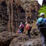
The first leg: pine forest, Teide in view, and hitting 1300 meters
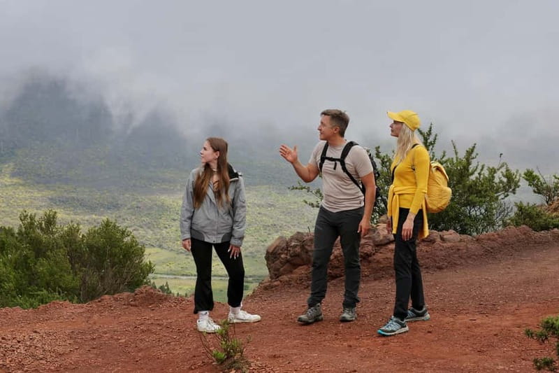
You start with a guided uphill section through a pine forest. Along the way, you get early orientation: you’ll see Teide volcano and references to the last eruption in 1909, which helps the bigger volcanic picture click into place before you ever reach the dramatic viewpoints.
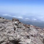
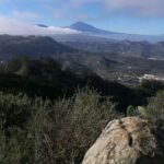
After about 70 minutes walking, the route reaches around 1300 meters. That altitude shift is the moment when you can start reading the whole area at once: mountains up close, ocean off to the side, the Masca Gorge below, and the famous winding road across the Teno slopes.
This early stage is a real “setup” portion. It isn’t just warm-up. It trains your eyes so the later lookouts feel rewarding instead of random photo stops.
Main route viewpoints: slope walking, scenic pauses, and historical spots
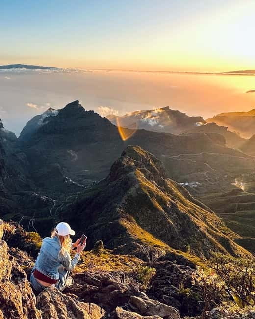
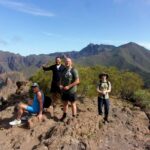
From the 1300-meter viewpoint area, you continue along the mountain slope. Expect more walk-and-look segments, with scenic overlooks and some historical points along the way.
The slope route is where Tenerife’s microclimates become obvious. You can feel it in your skin: sun and wind at one stretch, then more sheltered air as the path changes elevation and vegetation. It’s also why this hike feels more interesting than a straightforward path from point A to point B.
One practical benefit: the main lookout area is described as spacious, with a 360° panoramic view and minimal exposure. That means you’re not constantly pressed to the edge for photos. You can breathe, take your time, and actually enjoy looking around instead of rushing.
The Masca angle that’s hard to get from town
You don’t just see Masca from a distance. The route is designed to give you an elevated perspective, including an exclusive aerial view of Masca from the viewpoint network.
From that height, the gorge and the village finally make sense together. The roads, the cliffs, the drop-offs, and the way the water-cut terrain shapes the town all click into a single picture you just cannot get from street level.
A helpful heads-up if you’re planning photos: cloud can roll in fast. One review notes that fog showed up right after photos were taken, turning the top part of the hike into a softer, moodier experience. If you’re obsessed with perfect clarity, plan to stay flexible and trust the timing of your guide.
Risco Verde and the quieter secret-trail section
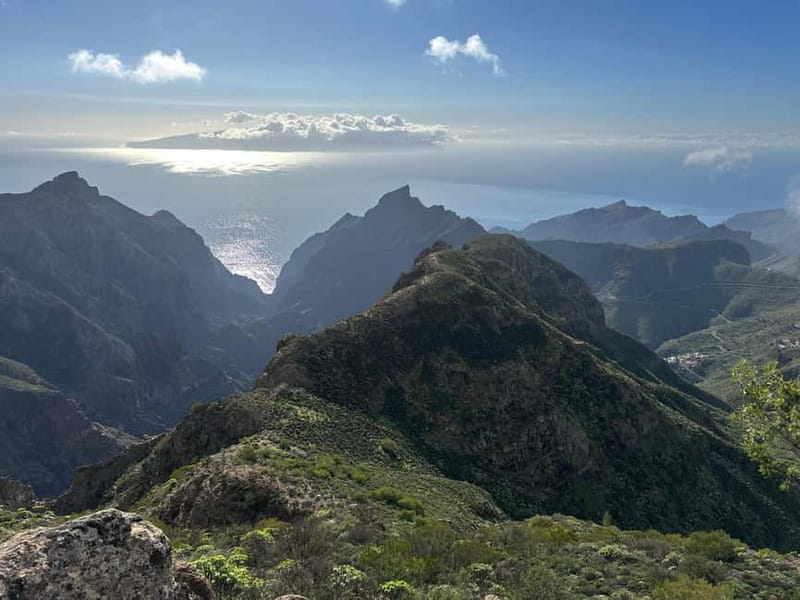
As the hike continues, you reach standout high points such as Risco Verde, where panoramic views can feel like a payoff moment. Reviews describe it as breathtaking, and it makes sense: you’re high enough to see the geometry of the Teno Mountains and the broader volcanic setting.
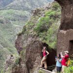
Then comes the part that many people remember most: a secret trail segment. This is where the tour tries to avoid the most crowded routes while still giving you jaw-dropping angles. The tone shifts here too. You’re not just scanning from a lookout. You’re walking a less-used line that makes you feel like you earned the view.
This section is also a good reminder to bring snacks and water. It’s not a marathon, but you do spend enough time in outdoors mode that you’ll want energy steady by the time you hit the tougher-feeling bits.
Finishing in the relict laurel forest: the cool, rare change of scenery
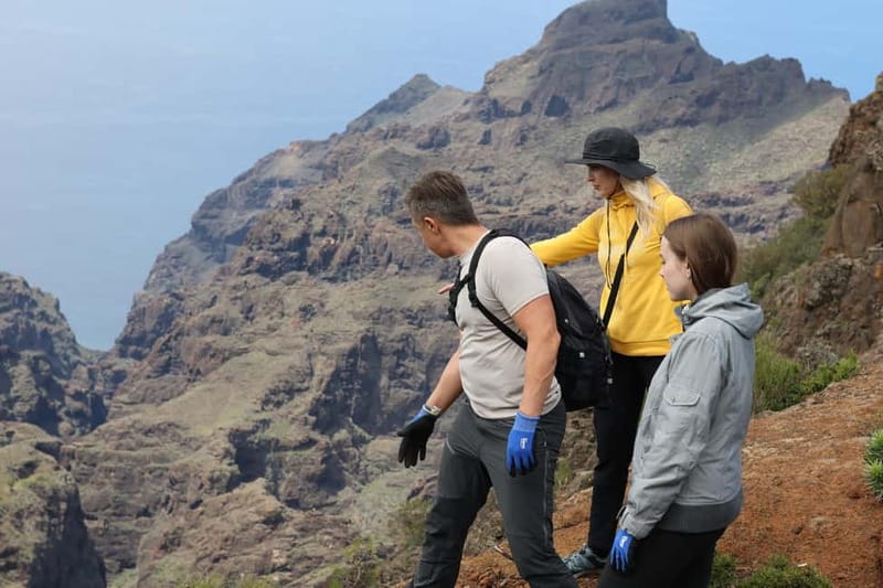
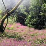
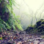
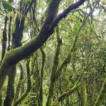
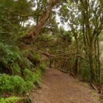
The last stage is the reason many hikers will say this trek feels different from the typical Tenerife walk. You enter a relict laurel forest, described as ancient and tied to Tenerife’s unique climate.
This forest isn’t just scenic decoration. It’s a living example of how the island’s weather patterns create specialized ecosystems. As you walk into it, the conditions tend to feel cooler and more shaded, which also changes how the whole hike feels. The earlier part asks you to work for the views. The laurel forest part is more about slowing down and soaking in the atmosphere.
One review calls the relict forest impressive and notes the second part can feel easier, especially after the first uphill push. Even if you start to feel your legs mid-hike, this is the kind of finish that can reset your energy.
Also keep an eye on your footing. Even in forest shade, the trail can be uneven, and some descents may require using hands for assistance. That’s not a deal-breaker if you’re steady on your feet, but it does mean you shouldn’t wear sloppy shoes.
Eugenio and the guide-led difference in a small group
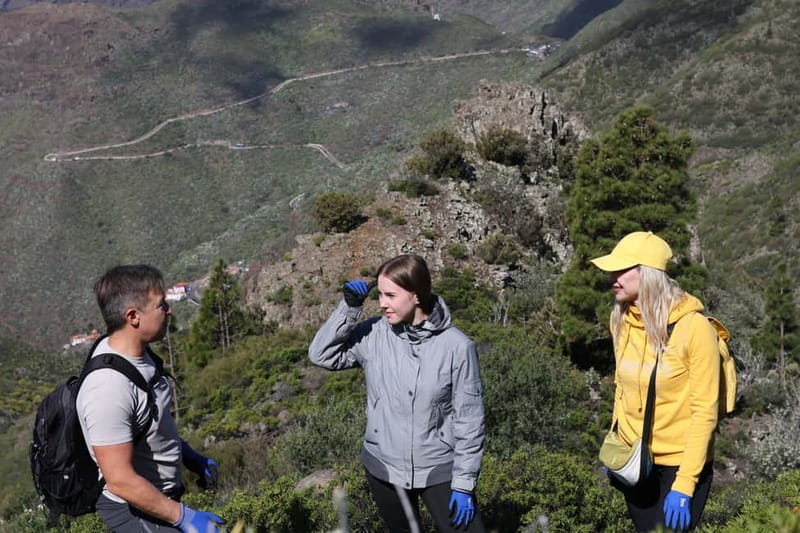
Your guide can make or break a hike like this, and the guide feedback here is strong. In reviews, Eugenio comes up as friendly and professional, with a patient approach and plenty of helpful tips. People also mention actual conversation during the walk, not just the rapid-fire tour script.
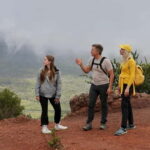
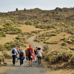
In a group of up to six, your guide can keep the hike comfortable. That shows up as less rushing, more time for photos, and a pace that feels human instead of athletic. One review mentions a hike with only four people, which helped keep the average pace steady and enjoyable.
What I find smart is how the guide handles variety. The hike isn’t only scenic. It’s also ecological (laurel forest), geological (volcano context and eruption history), and practical (where to look, when to pause, how to move safely). That mix is exactly what turns a hike into a story you remember.
How hard is it really? Fitness, vertigo risk, and shoe choice
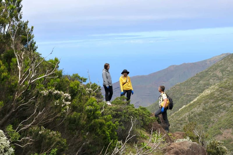
On paper, this is moderate: about 7 to 7.5 km total and ~300 m elevation gain. In real life, the effort depends on your comfort with uphill walking and uneven footing.
Here’s the key caution: some descents may require using hands for assistance. Add the fact that it is not recommended for vertigo or fear of heights, and you should be honest with yourself about how you handle exposure on mountain paths.
It’s also not suitable for everyone based on the activity rules:
- children under 16
- pregnant women
- people with back problems
- people with mobility impairments
- people with heart problems
- people over 70
- anyone afraid of heights or with vertigo
If you’re generally comfortable hiking and your legs handle steep segments, the route likely feels very doable. If you’re nervous around drop-offs, don’t assume the “minimal exposure” lookout means the entire hike feels safe in the same way.
What to wear: comfortable hiking shoes or sneakers with good grip.
What to bring: a hat, camera, snacks, sunscreen, and water.
You’re also not allowed to smoke or bring alcohol/drugs, and you’ll want to plan to carry out any small trash you generate.
Price and value: what $80 buys you (and what it doesn’t)
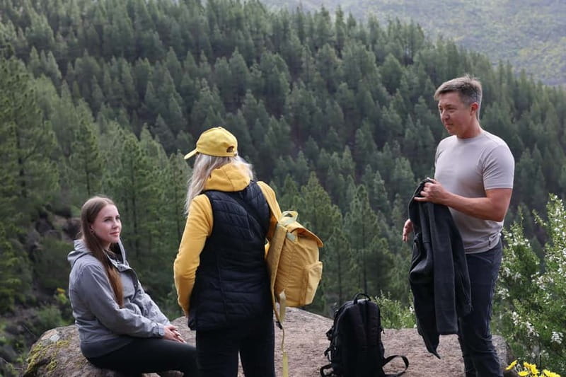
At around $80 per person for roughly 6 hours, this is not a bargain bus tour. It’s priced like an experience built around guiding and route access.
Here’s what you get for your money:
- a guided hiking tour
- trekking poles included
- insurance
- photo opportunities at viewpoints
- exclusive access to secret/hidden trails
And what you do not get:
- meals and drinks
That last point matters. Since meals aren’t included, I treat this like a real hike: I pack enough snacks to stay comfortable and I bring water for your whole time on the trail. You can also use the hike time to build in your own light lunch plan afterward, depending on your drop-off location.
The value logic is simple: the guide-led timing plus the less-crowded trail access plus included poles and insurance can easily outweigh the cost if you want a confident, smooth day rather than a DIY route with unclear trail details.
Pickup and drop-offs across Tenerife: plan your day around the route
The tour’s starting point depends on the selected option. It also includes 10 drop-off locations:
Restaurante Santiago del Teide, El Sauzal, La Victoria de Acentejo, Puerto de la Cruz, La Orotava, Garachico, Tacoronte, Bajamar, Los Realejos, and Icod de los Vinos.
That flexibility is useful if you’re basing yourself on different parts of the island. It can save you from long end-of-day transfers after your hike, which is exactly when you least want to squeeze in extra driving.
One more practical note: the itinerary timing is built around a long walking day. If you plan dinner reservations or a second activity that same evening, give yourself some slack. You’ll likely want a slow, well-earned reset after the laurel forest portion.
Weather changes: how fog and clouds can change your hike
Tenerife weather can switch quickly, and the reviews reflect that. One account describes clouds rolling in right after photos, turning the walk back from the peak almost foggy.
I take that as advice: don’t treat the forecast as a guarantee of perfect visibility. If conditions shift, the hike can still feel special because the experience changes mood, not just scenery.
If you want the best odds for clear views, you might aim to start earlier in the day when possible. Still, don’t stress it too much. The laurel forest finish and the guided pace keep the day enjoyable even when visibility softens.
Should you book this Masca hike above the Teno Mountains?
Book it if you want a view-first hike that mixes volcano context, gorge-and-road panoramas, and the rare feeling of an ancient laurel forest. The small group size (up to six) and included trekking poles make it easier to relax into the day. If you like walking on fewer-used trails, the secret-trail segment is a big selling point.
Skip it (or pick a different style of tour) if heights make you uneasy, if you get motion sickness easily in misty conditions, or if you’re not comfortable with hand-assisted descents. Also, this is not set up for kids under 16 or older hikers over 70, based on the activity requirements.
If you’re the type of person who enjoys learning while moving, this one fits. The guiding, including tips from guides like Eugenio, is part of why the reviews lean so strongly toward a well-paced day.
FAQ
FAQ
How long is the hike above Masca through the relict laurel forest?
The duration is about 270 minutes, or roughly 6 hours.
How far do you hike and how much elevation gain is there?
You’ll walk about 7 to 7.5 km total, with around 300 meters of elevation gain.
What group size should I expect?
This is a small group limited to 6 participants.
What languages are available for the guide?
The live guide is offered in English, Spanish, and Russian.
Is the tour hard, and is it safe for people with vertigo?
The hike includes some descents that may require using hands for assistance. It is not recommended for people with vertigo or fear of heights.
What is included in the price?
Included are trekking poles, insurance, a guided hiking tour, exclusive access to secret trails, and photo opportunities at unique viewpoints.
Are meals and drinks included?
No. Meals and drinks are not included, so you should plan to bring snacks and water.
Where do you get dropped off after the hike?
Drop-off locations include Restaurante Santiago del Teide, El Sauzal, La Victoria de Acentejo, Puerto de la Cruz, La Orotava, Garachico, Tacoronte, Bajamar, Los Realejos, and Icod de los Vinos. Pickup depends on the selected option.