REVIEW · OAXACA CITY
Hike el Camino Real, Latuvi – Lachatao
Book on Viator →Operated by Coyote Aventuras · Bookable on Viator
A trail older than you can imagine.
This full-day Camino Real hike in Oaxaca’s Sierra Norte follows an 18 km (11 miles) route once used for trade between mountain towns, so you’re walking through a living record of how the region connected Mexico’s coastlines through Oaxaca. I especially like the mix of ancient path + dramatic natural setting, with mossy vegetation, abandoned stone remnants, and that slow, real sense of being far from the city.
I also like that it’s run as a small group (max 10), which helps the guide set a pace that works for a wide range of hikers on a long day. One consideration: it’s a roughly 15-hour outing and includes altitude, so you’ll want a steady pace and gear that won’t let you down by late afternoon.
In This Review
- Key things to know before you go
- Walking the Camino Real: why Latuvi to Lachatao feels different
- Your 6:00am start in Oaxaca City (and why it matters)
- The 18 km trail: what you’ll experience between Latuvi and Lachatao
- What could slow you down?
- Sierra Norte scenery and history: moss, ruins, and the feel of the past
- Bring your curiosity
- Guide quality and small-group comfort (max 10 people)
- English-speaking guiding
- Pace, altitude, and footwear: how to make the day feel doable
- The footwear rule is simple
- Price and value: is $269 worth it?
- Who this hike is for (and who should choose something else)
- Practical planning tips that will save your day
- Should you book this hike?
- FAQ
- What time does the hike start?
- Where is the meeting point?
- How long is the hike (distance)?
- About how long is the whole experience?
- Is the tour offered in English?
- What fitness level do I need?
- Can I cancel for a full refund?
- Is it okay to bring a service animal?
Key things to know before you go
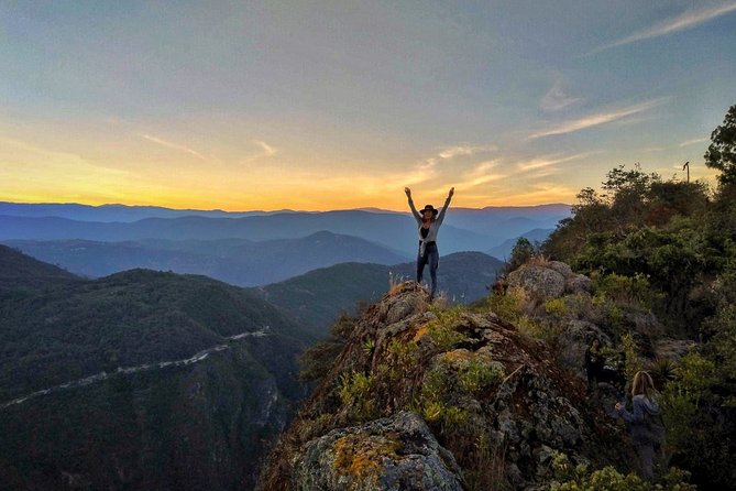
- 18 km (11 miles) on the Camino Real between Latuvi and Lachatao—built for long walking.
- Start at 6:00am in Oaxaca City, so you beat the heat and get more daylight on the trail.
- Max 10 people means you’re not lost in a crowd; you’ll get more attention from the guide.
- English-language guiding and interpretation on what you’re seeing along the route.
- Mesoamerican trade-route context turns the hike into a story you can feel under your feet.
- Service animals allowed, and the activity fits people with moderate physical fitness.
Walking the Camino Real: why Latuvi to Lachatao feels different
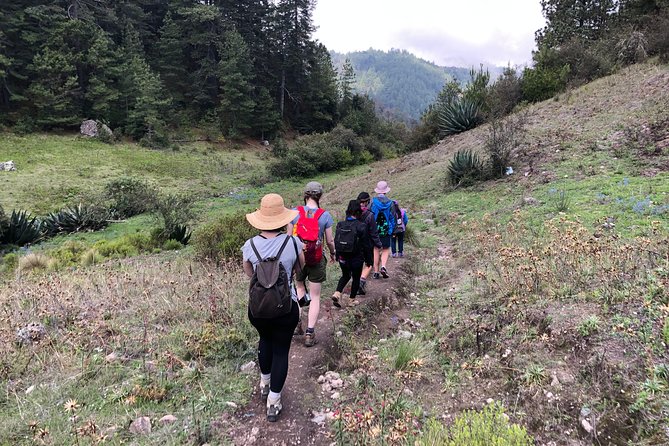
The big reason to do this hike is the trail itself. The Camino Real here isn’t just a hiking path—it was part of a larger Mesoamerican trade network that connected the Gulf of Mexico to the Pacific through Oaxaca. When you walk it, the history isn’t “behind glass.” It’s the route people once used to move goods and information across steep terrain and changing climates.
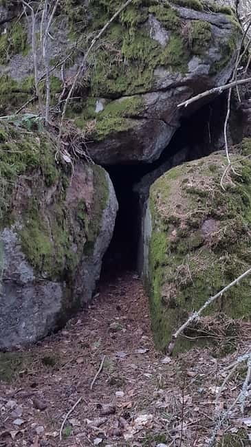
You’ll also get visuals that help the story land. Expect to pass through areas with lush, moss-covered vegetation and along sections with abandoned stone structures. Even if you don’t know every detail of the trade route, the physical setting makes the route feel plausible: this is how you travel through a mountainscape—slow, deliberate, and guided by the lay of the land.
Your 6:00am start in Oaxaca City (and why it matters)
Meeting is in Centro at C. Macedonio Alcalá 802, RUTA INDEPENDENCIA, Oaxaca de Juárez. The start time is 6:00am, and the total day is listed at about 15 hours. That combination means you should treat this like a full-on expedition day, not a quick morning walk.
A morning start has practical benefits. You get cooler air for a long hike, and you’re less likely to feel cooked before you reach the steeper sections. It also helps with timing on a day that ends back at the meeting point, so you avoid the late-afternoon scramble that can happen on hikes that stretch longer than expected.
The 18 km trail: what you’ll experience between Latuvi and Lachatao
This hike covers 18 km (11 miles), and the description frames it as an ancient connector between two mountain towns. What that means on your legs is time on uneven ground—plus the kind of steady up-and-down that doesn’t let you cruise the whole way.
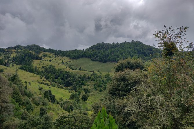
The trail experience is also about immersion in the Sierra Norte’s natural details. You’re walking through mossy, foresty stretches rather than a dry, dusty corridor. The vegetation slows your pace in a good way: you start paying attention to how plants grow here, how shade changes the trail surface, and how quickly the air temperature shifts as you gain or lose elevation.
What could slow you down?
Even if you’re fit, 11 miles plus time in the mountains adds up. One review note specifically flagged altitude as a factor that made the hike challenging, and that guide adjustments can matter when conditions feel tougher than planned. If altitude affects you, go slower than your ego wants early on—save energy for the middle and late sections.
Sierra Norte scenery and history: moss, ruins, and the feel of the past
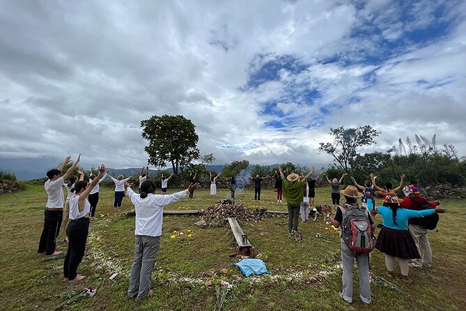
What makes this route special is the blend of ecology and history in the same corridor. The tour description highlights centuries-old trail context, including the vegetation and abandoned stone structures you’ll pass. That mix is why the hike feels different from many “scenic hikes” that are mostly views with a little interpretation.
You’ll also get a sense of how communities and ecosystems connect. In other Sierra Norte hikes run by the same operator, guides have been praised for sharing details about plants and animals and for linking what you see to the way local people understand the land. For your day hike, that style matters because it turns the long effort into something you remember for more than just the view.
Bring your curiosity
This is a route where you’ll likely want to keep your eyes up and down. Look ahead for terrain. Then look closer for the moss and stone remnants. Those details make the history feel real rather than abstract.
Guide quality and small-group comfort (max 10 people)

A key part of why this hike scores so high is the guide experience. Across the outfitter’s Sierra Norte trips, multiple guides have been mentioned by name—Paula for her enthusiasm for ecosystems, Shai for a positive, upbeat teaching style, and Zenon for adjusting pace and paths based on how hikers were feeling. You can’t count on a specific person for your date, but you can count on a guide team that takes the day seriously and knows how to work with different fitness levels.
Small group size helps with that. With up to 10 people, it’s easier to pause for questions, slow down when someone needs it, and keep the group together on confusing trail moments. It also makes the day feel less like a factory line and more like a conversation with the mountains.
English-speaking guiding
The tour is offered in English, which is a big plus if you want the explanations without translating everything in your head. When you’re walking for hours, clarity matters. You’ll get more out of the route when you can follow the guide’s interpretation as you go.
Pace, altitude, and footwear: how to make the day feel doable
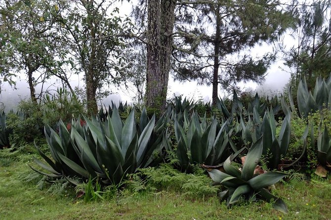
This activity calls for moderate physical fitness. That’s a helpful phrase because it doesn’t mean “no challenge.” It means you should be comfortable with long walking and some elevation strain.
Here’s what I’d take from the experience style: altitude can make a hike feel much harder than the mileage suggests. One review mentioned using hiking poles and calling them a big help. If you own poles, bring them. They aren’t only for steep descents; they help you keep rhythm on the kind of uneven trail that often comes with mountain routes.
Also think in layers. A review from a Sierra Norte hike noted how warm clothing mattered at night at higher elevation, and while your day hike won’t be an overnight situation, mornings can still start chilly. A light jacket you can pack and pull out at stops is a smart move.
The footwear rule is simple
Wear comfortable shoes or hiking boots with real tread. You want grip because the trail can be slippery or uneven under moss and shade. If your shoes are fine for city sidewalks, test them on a few longer walks before the trip.
Price and value: is $269 worth it?
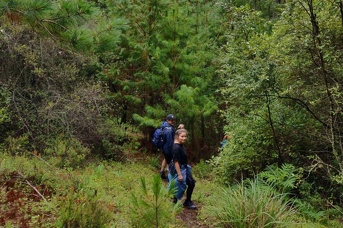
The price is $269 per person, and the real question is what that amount buys you beyond the hike distance. For this kind of Sierra Norte route, you’re paying for three things that are hard to replicate on your own:
- Local guiding and interpretation on what you’re walking through, in English.
- Access and coordination for a full-day experience that begins in Centro at 6:00am and ends back at the meeting point.
- A small-group format (max 10), which reduces friction when the trail or pace needs to adapt.
Also, the trip is positioned as a “connect with nature and the past” kind of day. That’s not marketing fluff when you’re walking a historic trade path and passing stone remnants and mossy vegetation. The guide helps you understand why those features matter, and that understanding makes your effort feel rewarded.
And if plans change, there’s free cancellation up to 24 hours in advance for a full refund. That flexibility can be worth money in its own way when you’re timing hikes around weather and your energy level.
Who this hike is for (and who should choose something else)
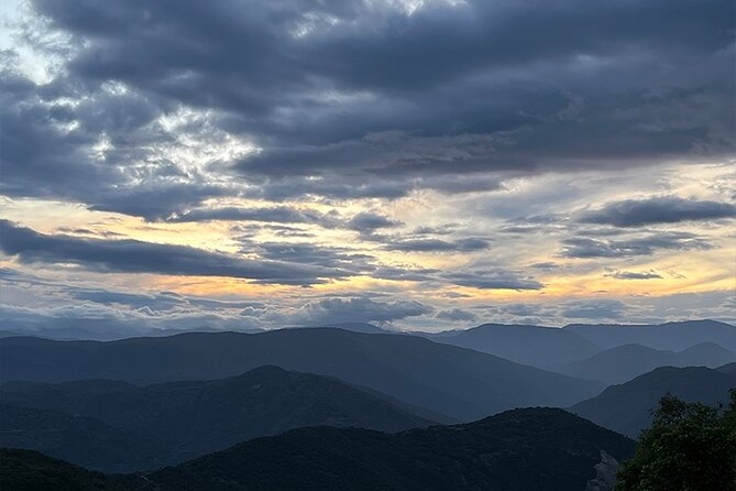
This hike fits best if you:
- enjoy long walks with a clear purpose (not just photo stops),
- want to understand Sierra Norte beyond the city,
- are comfortable with moderate fitness and the reality of altitude.
It may be less ideal if you:
- can’t manage 11 miles of hiking plus mountainous terrain,
- need very short outings with lots of rest breaks,
- are sensitive to altitude and don’t have a way to slow down.
If you’re on the fence, remember: the day is long (about 15 hours total). You don’t need to be an athlete, but you do need to respect the time commitment.
Practical planning tips that will save your day
Because the hike runs long and starts early, treat it like a full outdoor day. That means planning for comfort, hydration, and energy.
Here’s what I’d do before you go:
- Wear hiking boots or solid walking shoes and bring anything that helps on uneven ground (like poles if you use them).
- Dress in layers so you can adjust from cool morning air to warmer sun in the afternoon.
- Bring a small personal kit for your own pace: water management matters when you’re on your feet for hours.
- If you’re unsure about timing or what to pack, ask the provider when you confirm—then you’ll arrive calm instead of improvising.
One more tip: if you get altitude symptoms, don’t push. The guide team’s approach on Sierra Norte hikes is to adjust paths and pace based on how people feel, and you’ll have a better day if you communicate early.
Should you book this hike?
I think you should book it if you want a real Sierra Norte walking day—one where history isn’t a lecture at the end, it’s part of the trail. The 18 km Camino Real route, the morning start, and the small-group feel make it a strong choice for people who like guided hikes that teach you what you’re seeing while you’re still on the path.
Skip it (or choose a shorter option) if your priority is a quick scenic stroll or if long altitude days feel risky for you. For everyone else, this is the kind of hike that gives you a physical connection to Oaxaca’s mountain corridors—moss, stone remnants, and a trade route story you can actually walk through.
FAQ
What time does the hike start?
The hike starts at 6:00am.
Where is the meeting point?
You’ll meet at C. Macedonio Alcalá 802, RUTA INDEPENDENCIA, Centro, 68000 Oaxaca de Juárez, Oax., Mexico.
How long is the hike (distance)?
The Camino Real route is 18 km (11 miles).
About how long is the whole experience?
The duration is listed as approximately 15 hours.
Is the tour offered in English?
Yes, it’s offered in English.
What fitness level do I need?
You should have moderate physical fitness for this activity.
Can I cancel for a full refund?
Yes. There is free cancellation if you cancel up to 24 hours in advance of the experience’s start time.
Is it okay to bring a service animal?
Yes. Service animals are allowed.